Sunday, May 15, 2011
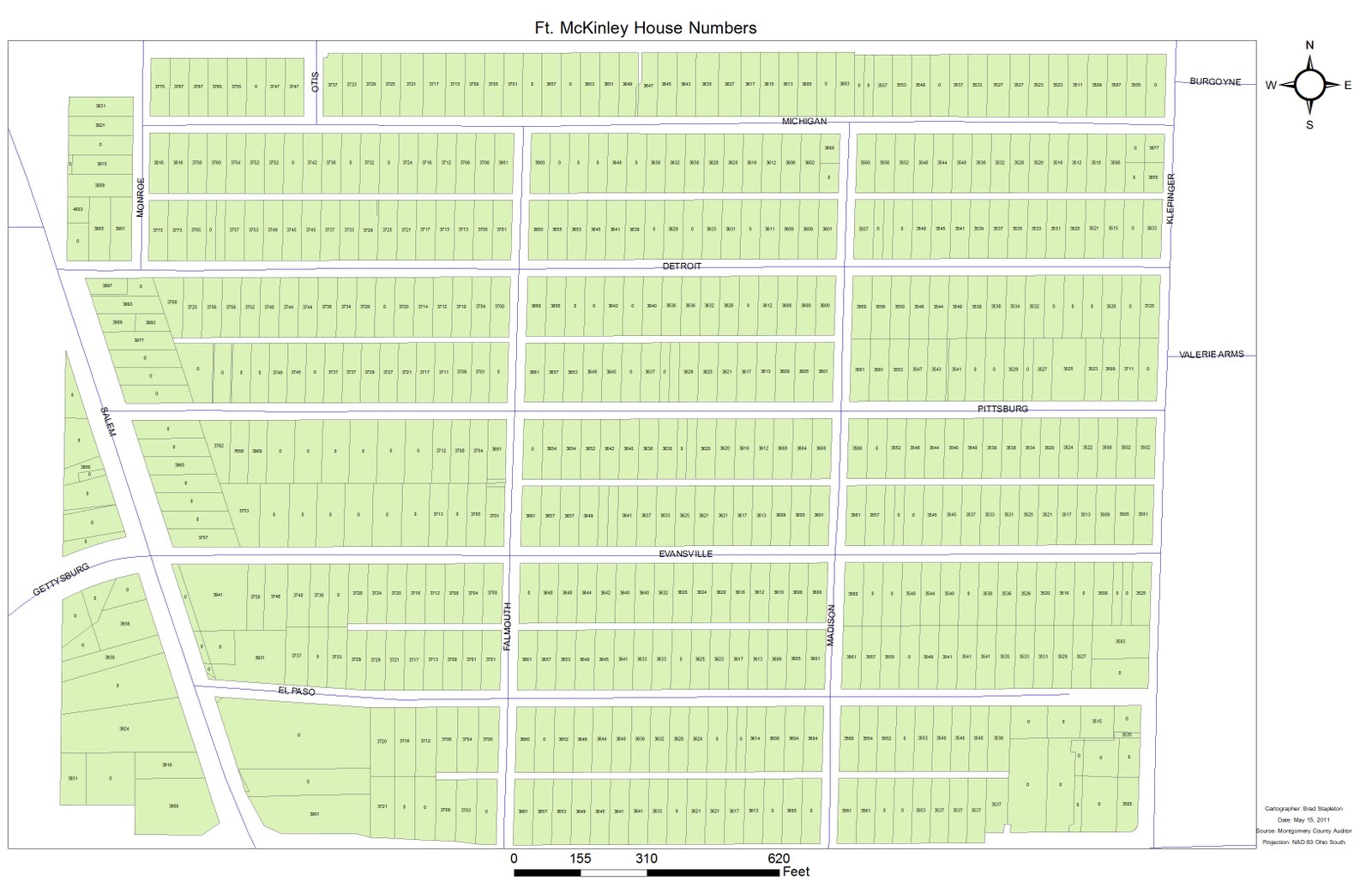
Ft. McKinley
This is a neighborhood map I put together for Ginghamsburg Church. Its not anything too difficult, but I had to find the needed data online and trim it down.

Tuesday, May 3, 2011

Friday, April 29, 2011
Geospatial Science Final Project
Its a lot, but here are the files I submitted for my final project. Some of these may have been posted before, so bare with me.


This map is a urban structure map that I digitized myself based on my knowledge of the area.

Friday, April 22, 2011
Geospatial Science Midterm
This is my midterm for a class, we were given a table of sasquatch siting data and had to build a map from it.


Lab 12
This is a project that used a number of factors including elevation, population, and land use to perform a site selection for a new school in this area. I then used a cost analysis to find the cheapest road as a second enterance to the school.


Lab 10
This is a map showing the density of mail order purchasing power index in Ohio. This is a snowfall map made using the same technique, plus contour lines.


Subscribe to:
Posts (Atom)